.webp)

Expertise

.webp)


Utilizing advanced LiDAR 3D scanners, we conduct comprehensive building surveys to gather precise measurements for property owners, architects, engineers, contractors, landlords, facilities managers, and other professionals. We offer Autodesk Revit BIMs, AutoCAD plans, and BOMA area analysis reports, to help streamline project workflows, ensuring efficiency and accuracy.


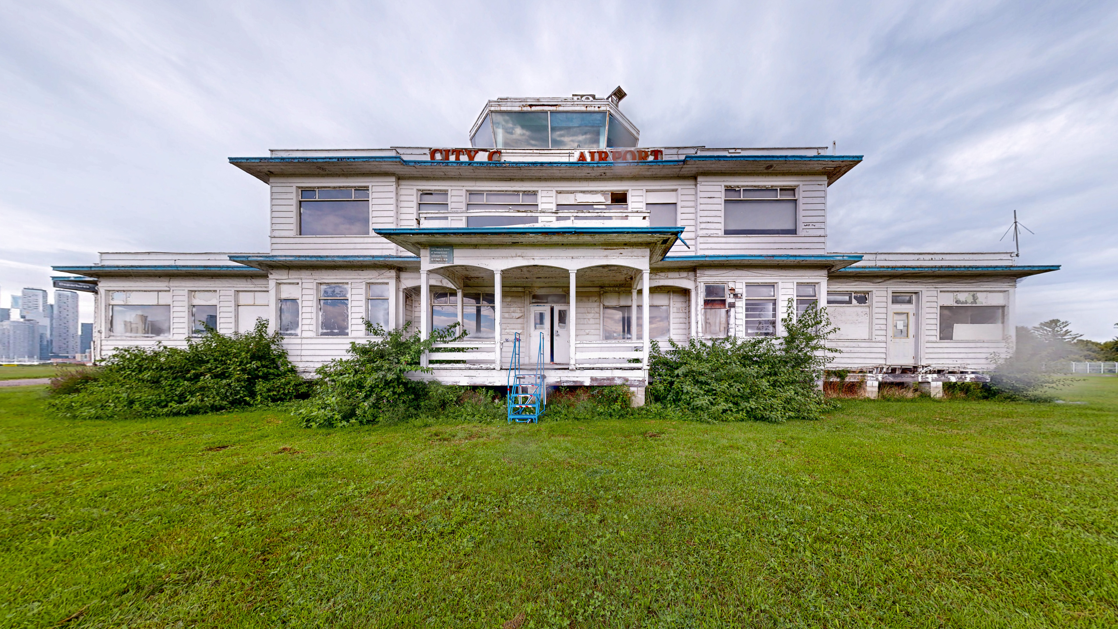
Our on-site technicians employ advanced survey techniques, ensuring the acquisition of reliable measurements. We capture detailed data of building interiors, facades, roofs, MEP units, topographic features, and more.


LiDAR technology offers millimeter-level accuracy, enabling large scale data acquisition for engineering and design tasks. We use terrestrial and aerial LiDAR sensors to generate high-density, colorized point clouds for applications such as facade restoration and construction progress monitoring.
We create architectural, MEPF, and structural BIMs, as well as modelling topography, furniture, and assets. Our LOD 400 BIMs are delivered as fully editable Autodesk Revit (.rvt) files, providing a head start for your project and improving project management.


Our in-house drafting team provides quick turnarounds, delivering editable .dwg format files, along with easily readable, high-resolution PDF plans. Our scaled floor plans are labeled with both imperial and metric measurements, window and door sizes, and include fixtures, wall assemblies, casework, millwork details, outlets, ventilation, lighting, and flooring.
.webp)
.webp)
.webp)
.webp)
.webp)
.webp)
Our digital twins provide a detailed record of a building's structure, systems, and site features. This documentation enables stakeholders to virtually assess areas, collaborate remotely, identify design challenges early, and improve decision-making.


As a landlord, investor, or property manager, precise area calculations are crucial for making informed decisions in real estate. We utilize advanced LiDAR scanning to ensure accurate BOMA standard measurements for a wide range of property types including office, industrial, retail, multi-unit residential, and mixed-use buildings. Our detailed report clearly outlines metrics such as rentable and occupant areas with colour-coded floor plans for easy visualization.


.webp)


.webp)
.webp)


.webp)
-Enhanced-SR.jpg)


.webp)
